Solutions

Expand your senses

Emerging sensor technologies from ground and space systems, put to work so you can stay informed in quickly changing natural and built environments.

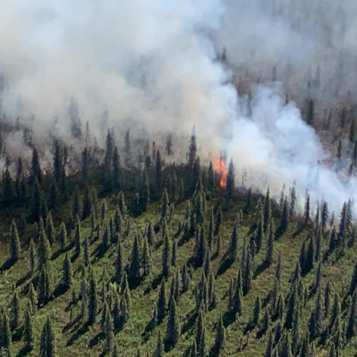
Smoke rising from a wildfire in a conifer forest
Wildfire

Early Wildfire Detection

Detect wildfires near your community within minutes with networks of highly sensitive sensors.

Every minute counts when a fire starts. Ground-based sensor networks act as digital eyes and ears around your community, picking up the earliest signs of fire so you can prepare and respond sooner.

  • Networks of highly sensitive sensors near the places you want to protect
  • Early alerts within minutes of a fire starting
  • More time to prepare, respond, and keep people safe
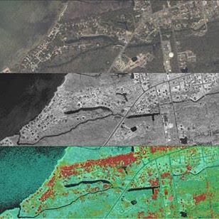
Satellite imagery of a town shown as natural colour, black and white, and analysed layers
Geospatial

Mapping, GIS & Remote Sensing

Leverage cutting edge commercial Space 2.0 technologies for geospatial intelligence.

A new generation of commercial satellites is making Earth observation faster, more frequent, and more affordable. We turn that imagery and data into maps and insight about how your land and surroundings are changing.

  • Satellite and aerial imagery from commercial Space 2.0 providers
  • Mapping and GIS analysis tailored to your questions
  • Change detection across natural and built environments
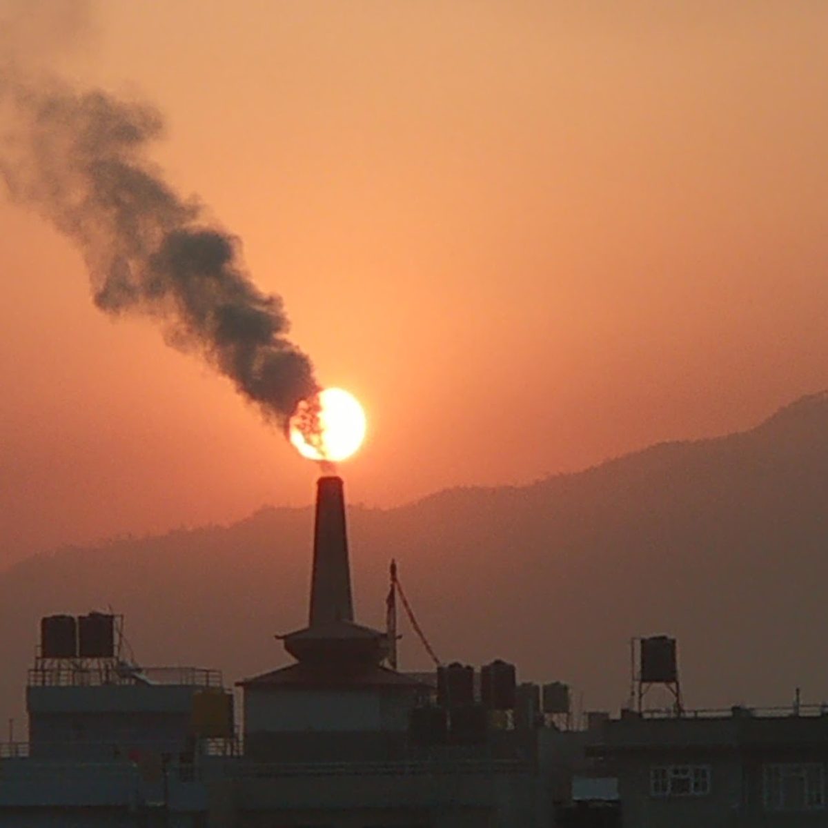
Smoke from an industrial stack against an orange sky
Air

Air Quality Monitoring

Keep track of changing air quality conditions in your home, business, or community.

From wildfire smoke to everyday pollution, air quality can change quickly. Connected sensors help you know what you're breathing and when to act.

  • Sensors for homes, businesses, and whole communities
  • Up-to-date readings as conditions change
  • Information to protect health and plan ahead

Not sure where to start?

Tell us what you're facing and we'll help you find a proven solution.

Get in touch